HYBRID EVENT: Join us in person in Singapore or attend virtually from anywhere.

Remote Sensing and GIS for Climate-Smart Agriculture
Remote Sensing and GIS for Climate-Smart Agriculture
Remote sensing and GIS technologies provide critical insights into crop health, soil conditions, and climate risks. This session covers satellite imaging, geospatial analysis, and precision mapping techniques. Topics include land-use monitoring, crop forecasting, and decision support systems. These tools play a vital role in climate-smart agriculture and resource management.
Committee Members

Mary Cole
The University of Melbourne, Australia
Srinivasa Rao Mentreddy
Alabama A&M University, United States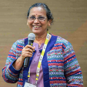
Title : Hybrid model on climate variability on soybean production across the six geopolitical zones of Nigeria
Abdulmumin Muhammad Kabiru , Umaru Ali Shinkafi Polytechnic Sokoto, Nigeria
Title : Community-led agroecology and agroforestry for climate resilience in Kenyan drylands
Alice Ritho, African Population and Health Research Centre , Kenya
Title : Fit genetics and management to the environment: A framework for climate resilient agriculture
Alvaro Danie Garcia, Dellait Animal Nutrition and Health, Portugal
Title : Climate-smart Conservation Agriculture (CA) - Paradigm for sustainable food and resource security, and environmental safety
Amal Ghosh, ICAR-Indian Agricultural Research Institute New Delhi, India
Title : Enhancing climate resilience in South African maize farming through the quantification of Green House Gas (GHG) mitigation and water productivity: The development of a carbon management tool
Annie Koalane, Agricultural Research Council, South Africa
Title : Climate change and insect pest dynamics in sugarcane: Rethinking IPM strategies for a warming world
Arbaz Khan, Peoples' Friendship University of Russia, Russian Federation